Surveying & Mapping
Learn More)
Surveying and Mapping Services
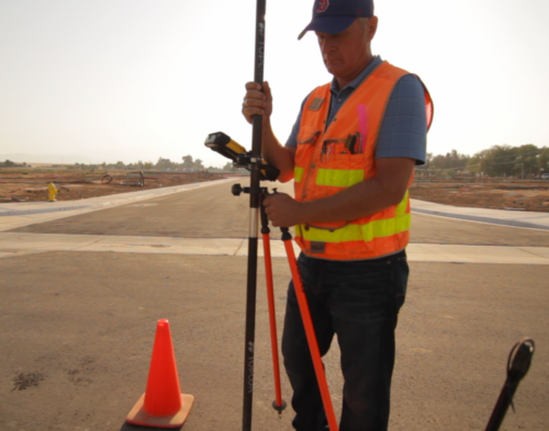
DeWalt Corporation has built its survey department on sound land surveying and mapping principals, education and a commitment to an intelligent, thoughtful application of the latest in land surveying, 3D laser scanning and 3D modeling technology. DeWalt Corporation’s survey department plays the vitally important role of providing support services for its engineering and planning departments, while also positioning itself, through the development of strong relationships in a variety of industries such as commercial and residential land development, wind and solar, petroleum, and transportation, as one of the most sought after firms in the construction industry.
DeWalt Corporation’s corporate headquarters located in the heart of the Southern San Joaquin Valley allows for a service area that stretches from Los Angeles and Orange Counties to the south, the San Francisco Bay area to the north and includes the High Desert areas of eastern Kern County and the California Coastal counties. DeWalt Corporation strives to maintain the highest level of integrity and effectiveness through communication and collaboration with our clients in an effort to complete their projects in the most timely and cost effective manner, thereby adding the highest level of value to their projects.
We offer the following services to private development, public agencies, energy and institutional clients:
- Global Positioning Surveys & Equipment
- Mixed-Use/Condominium Development
- Aerial Photography Control & Mapping
- ALTA Surveys
- Boundary Surveying & Monumentation
- Constraint Maps
- Field Surveying & Construction Staking
- Legal Description & Exhibits
- Lot Line Adjustments
- Oilfield Surveying
- Parcel Map Waivers
- Records of Survey
- Site Resource Surveys
- Subdivision Parcel Maps & Tract Maps
- Topographic Mapping
DeWalt Corporation strives to be collaborative and prompt. Focused on professionally responding to our valued client.
Aaron Byrd
